Drone Solutions for Construction
Using drone data and the SoCal Technology Platform in civil construction to track job progress, monitor quality, and resolve disputes easier, saves you time and money when compared to traditional survey methods.
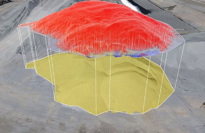
Establish accurate, reliable ground control easily with our AeroPoints. Know your progress against design in a few clicks. Capture your own topos. Generate cut and fill maps. Measure distances, grades, and heights in a fraction of the time. Use your 3D survey to have a visual conversation with your team. Collaborate and report using SoCal Tech Engineering App as your single source of truth.
Drones are Revolutionizing the Industry

MANAGE THE WORK
Using Leading-Edge Technologies by our QA & QC
To inspect every corner and spot of the project by our Quality Control and Assurance
We Inspect in Detail!
For more information please contact us by clicking on the button below

